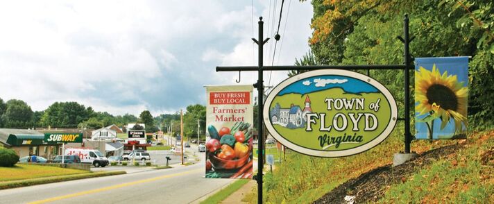
Our Floyd Community
For more information visit the Town of Floyd Floyd County has a land area of 383 square miles located in the Blue Ridge province of the southwest part of Virginia. The county seat, the town of Floyd, is 40 miles southwest of Roanoke on US 221. Buffalo Mountain, at 3,971 feet, is the highest point in the county.
Floyd County is situated atop a high plateau of the Blue Ridge Mountains which divides the eastward flowing from the westward flowing waters. It is said that no water flows into Floyd County. This makes the air and water quite clean. The county is drained primarily by Little River and its tributaries which flow into New River below the Claytor Lake Dam and, in turn, by way of the Kanawha, the Ohio and the Mississippi, into the Gulf of Mexico.
Floyd is a rural community with an appreciation for rural living. Recent downtown improvements offer the possibility of a sustainable local economy with an active commercial center. This, together with the well established arts community of Floyd and emerging artisan-agriculture based businesses make for a lively sense of growth and energy.
For more information please visit the Town of Floyd official website.


